On the day after the Mansfield IBA Muster I rode up to visit my daughter's family in Tumut. On a fellow IBA rider's advice I took the Whitfield Road and was amply rewarded by chacteristically beautiful Victorian mountain and flatland riding. I left the rest of the roads he recommended for next time, and joined the Hume at Wangaratta thence via the Adelong road. In all my riding this weekend, I only saw two small roos which gave me no problem. Something I did notice that struck me as odd were three dead koalas and two dead wombats. I guess I don't ride all that much off the Hume Highway in Victoria, but I'd never seen that before.
After a nice evening catching up with the grandies, I was up before they began their preparations for school. Ruby2sday was glad to shake off the evening chills and steamed like an impatient horse ready for the ride.
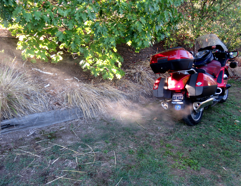
Not far along the Brungle Road we came upon her distant cousins having their morning conference.

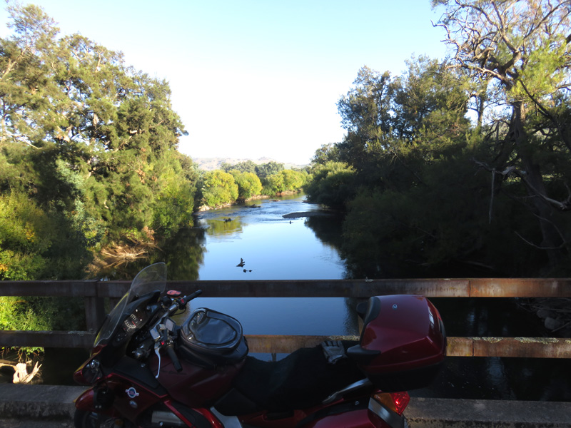
I made my second crossing of the Snowy River and headed into South Gundagai for fuel and the Hume slab.
At this point I made a fateful decision to entrust my route to the GPS. I expected it would indicate an exit for Young being the shortest route. We passed that exit and I thought, "Ah, Boorowa thence Cowra like last time." Not to be, so since we were committed, I settled in to see what it had in "mind".
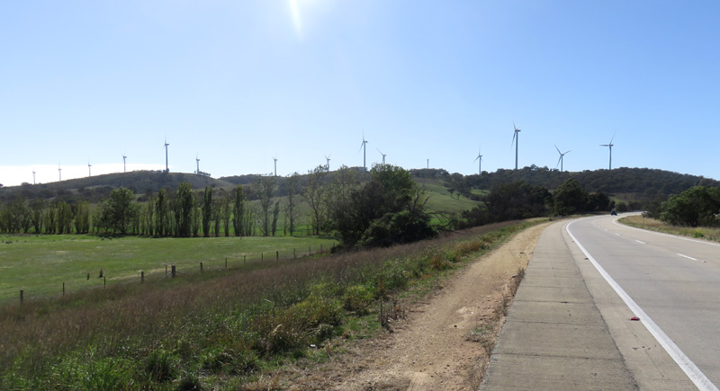
Like so many things, I've told myself on previous rides I'd like to get a photo of the Gunning wind farm. It's annoying stopping from 110 kph just for a photo when you've got the FarRide gene that deplores inefficiency, even when there's no particular time pressure, but I did it. And doesn't that highway traffic roar past when you're a couple of metres from it!?
So, we headed all the way up to the Camden Valley Way exit because suddenly the GPS's criterion wasn't the quickest route but the most direct! I resigned myself to keeptrusting the GeePs. The temperature had hit 36 and the delights of Casula were eluding me until I espied a Maccas oasis. A consolation Cappaccino restored my equilibrium and I was able to cope with the routing via the Cumberland Highway.
The heat wasn't helped by the Newcastle Expressway roadworks and by the time I got to Heatherbrae I was needing refreshment. Faced with the northern Pacific roadworks I decided to trust the Bucketts Way to get me up into the cool mountains, and incidentally to Walcha where the FarTag had been languishing far too long.
In my previous Ride Report on this route I expressed astonishment that this could be regarded as a suitable name for a village.
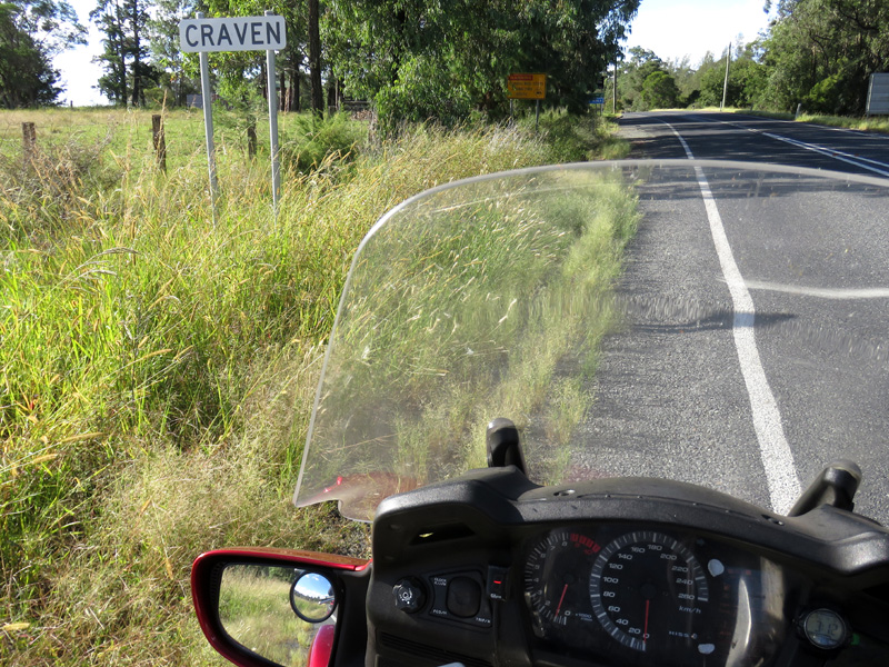
Back in the '50s and '60s when smoking wasn't killing people the way it does now, Craven A was one of the "hard" cigarettes. I was a softie, preferring the mentholated Alpines and always thought it whimsical that a brand should suggest cravings, let alone cowardice!
After climbing up onto the New England tablelands the country opened up. There was ample evidence of a long history of sheep farming, with plenty of woolsheds.
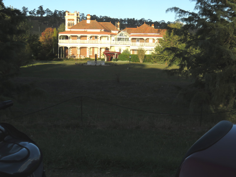
The proof that there were fortunes made from the woolclip can be seen in Langford House, just south of Walcha.
I secured my FarTag photo and soon after the sun dipped low and provided a classic sunset.

Those wretched "Unsee this" billboards
really annoy me! I refuse to look at them, intentionally "unseeing" it. Their proliferation just proves the supply of the facility far outstrips the need for it.
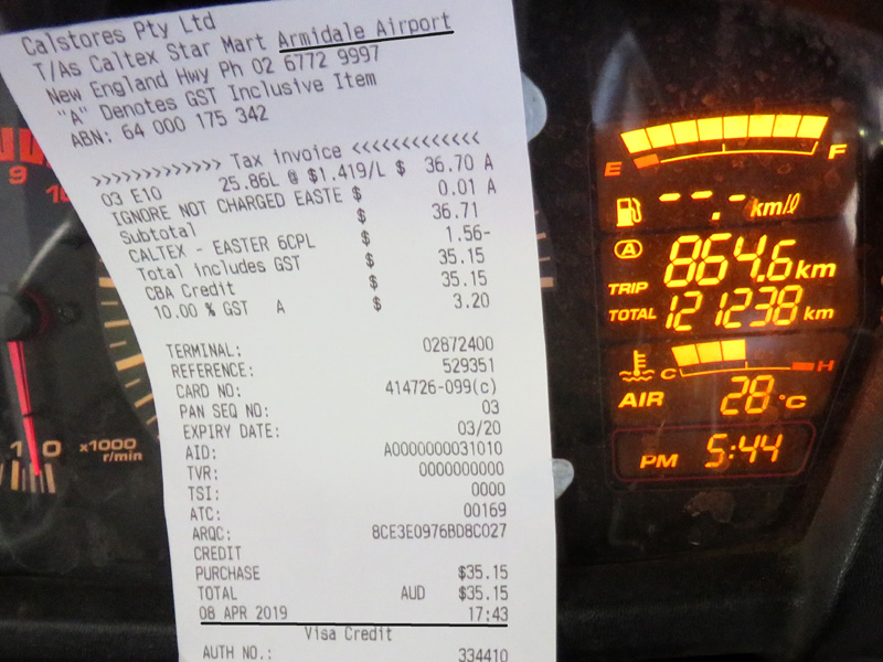
This Honda is good for at least 500 km of highway travel before the low level countdown begins, and I was at the Armidale airport with fuel remaining for another 38 km. There had been "a little bit of higher than usual fuel flow" since Walcha.
By Warwick I was needing to "drain the water" and I was due for a break before the final run down into Brisbane. I decided to try a new road I hadn't bothered with before, the Freestone road that cuts one kilometre off the trip from Warwick to Gladfield.
The rest of the ride home was straight-forward in negligible traffic, and I was soon being welcomed by Chilli, the boarding dog.
https://spotwalla.com/tripViewer.php?id=1c8585c56c7c2a31db

